A week and a half ago, for the first time in my life, I crossed the channel in my own car. We were camping not far from Paris but were able to get one day to venture further afield and spent some time in and around Reims, about 80 miles to the East. For years I have seen photos in magazines or on-line of the 'pits' of the old Grand Prix circuit just outside the city and this was finally my opportunity to have an explore.
Rather than just head directly to that oft photographed point though, I wanted to have a look at some of the other sections of the old track. Pre-war and up until 1951 the track actually headed into the village of Gueux and this was where we headed first, travelling up to it from the south on a small road bordered by vineyards. Following my nose (and recollection of close up maps I'd looked at before leaving England) we reached point A on this map.
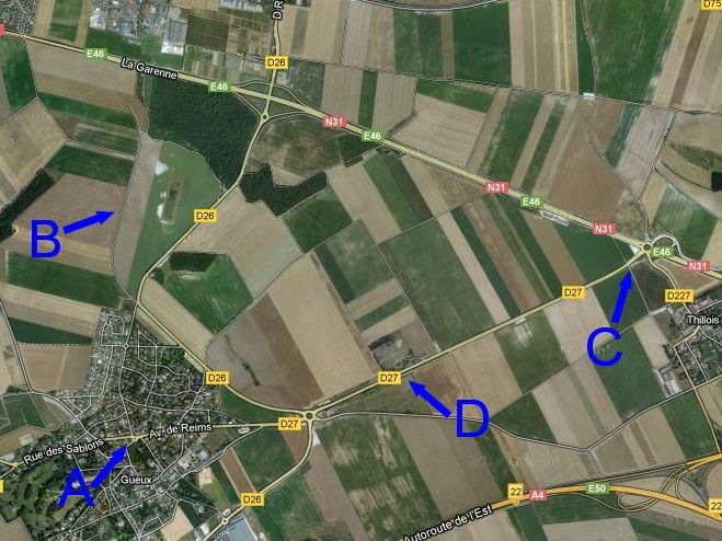
This was the first real corner on the pre-war route in the centre of the village and cars would have come towards this spot down that road on the right of the photo, braking hard to take the sharp 90 degree right bend.
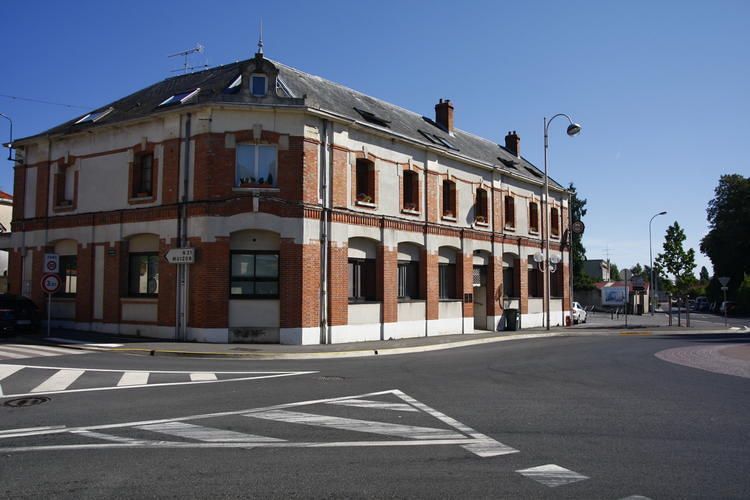
Standing back a bit to get a wider angle....
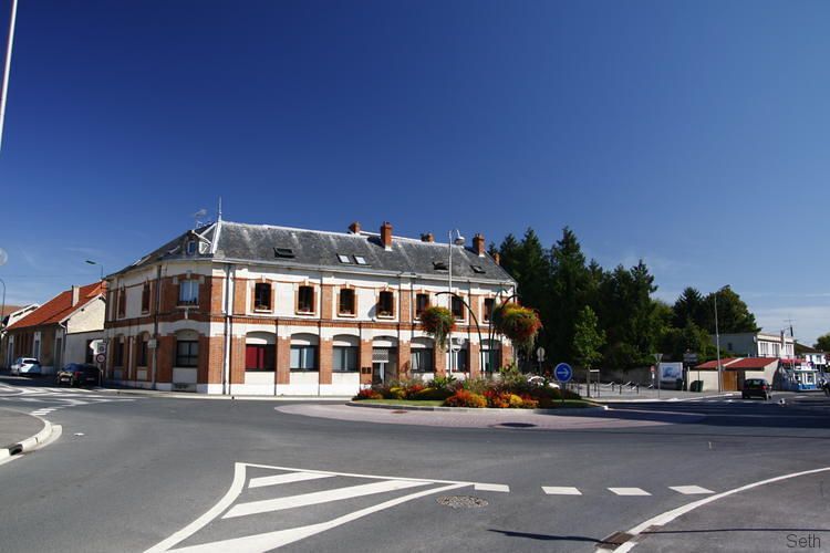
I could see an old looking garage up that street. Its architecture certainly looks contemporary to the 1930s hey-day of this section, so I stood there imagining what machines might have graced its service bays 80 years ago...
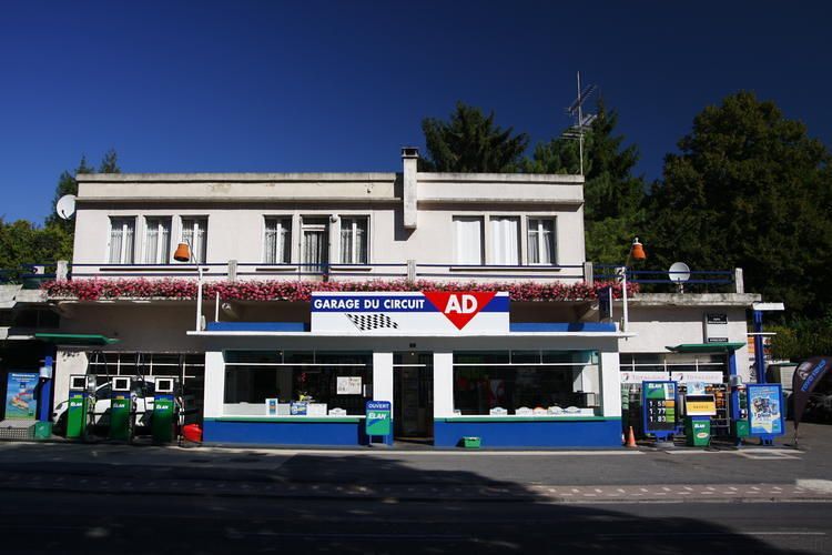
I'd not had much chance for further research before we left home but had come across this photo on-line, of a Bugatti getting some attention.
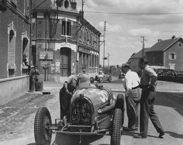
Again, with just the image in my head I managed to get pretty close to standing in the same place as that photographer had.
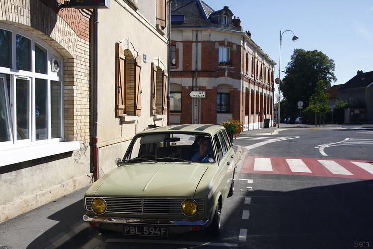
Back in the car I took that road north towards Muizon, heading uphill slightly and passing a side street named 'Rue de Circuit' The road has a kerb along its centre, perhaps dissuading modern day wannabes from racing? at the edge of the village the road drops downhill again and you reach a junction. From the right comes a 'new' road (D26) built specifically to bypass the village for the 1952 Grand Prix and part of a significant reshaping of the circuit that made it even faster than before.
Ahead is the route of the pre-war track, and still the way towards the main N31 but I chose to turn left signposted as a dead end and no-entry further up. When the village was bypassed in '52 this is the way the track continued. The road is clearly banked as you curve to the right and now goes nowhere but into empty fields. There is a curve to the left at the bottom of the slope and soon after that the road just peters out.
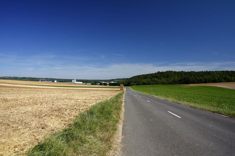
Looking back up to where I'd parked, in the middle of the road at 'B' on the map.
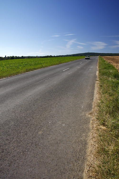
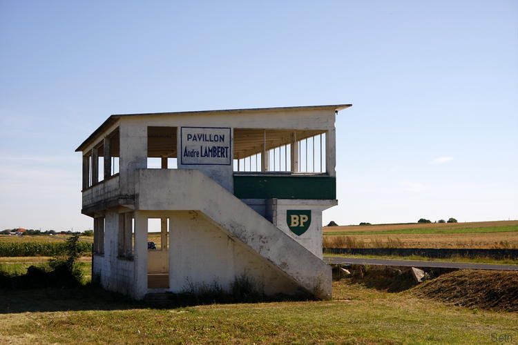
With no option but to turn around, we headed back to the junction and then North up the D26 to the main road. The N31 is now a 4 lane dual carriageway but when the circuit was active it would have just been a two lane road like the others. The new highway has been built above and I think slightly to one side of the original road surface but is just as straight down towards Thillois. Once the site of a hairpin bend it is now a large roundabout but exciting this and finally heading towards the pits complex we spy a concrete 'BP' block off to one side. (C on the map)
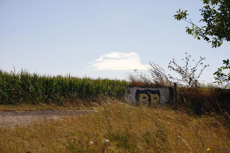
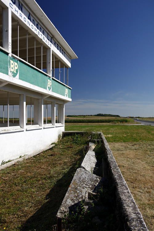
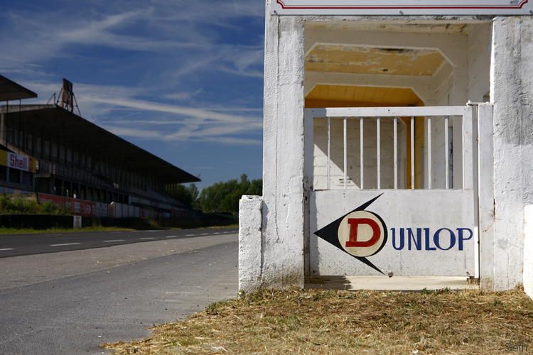
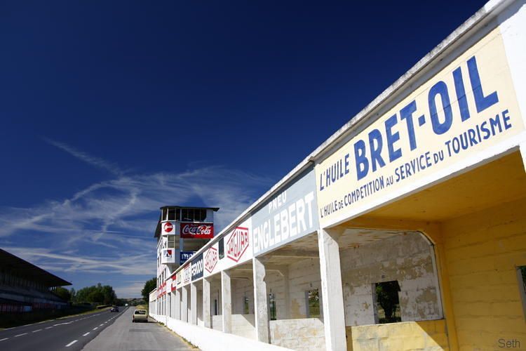
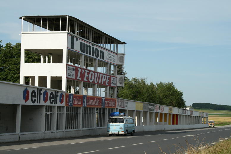
The road curves slightly, rejoining the original route and the pits complex comes into view. (D) It is simply awe inspiring that such a construction remains here. Some of the adverts have been re-painted in recent years but the structures seem largely untouched.
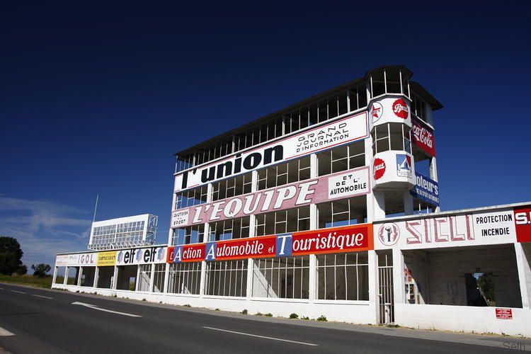
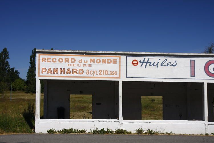
These pit bays stop short of where they once reached and so some demolition must have occurred at some stage unless the faciilities were altered in the later stages of the circuits use.
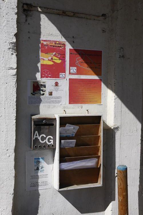
It was a pleasant surprise to see some nicely produced leaflets about the track just inside one of the bays, thanks to the group carrying out the preservation works.
www.amis-du-circuit-de-gueux.fr/-Accueil-
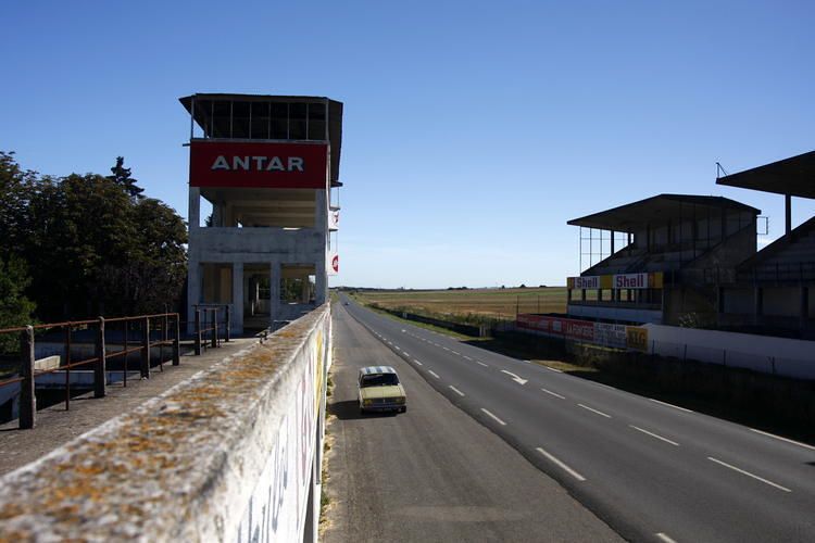
The 'scoreboard' looms high.
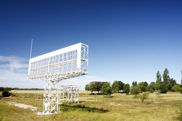
and the temptation to head up into the tower is great.
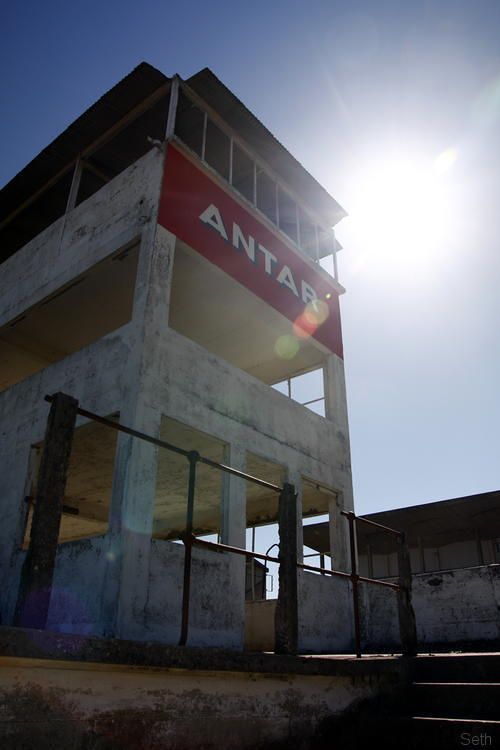
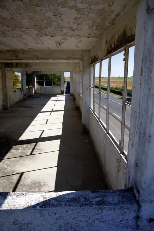
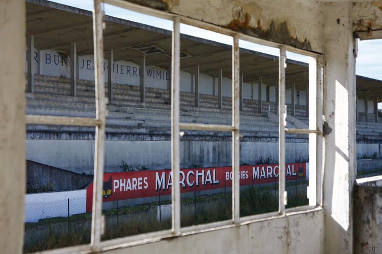
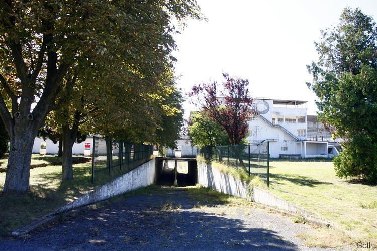
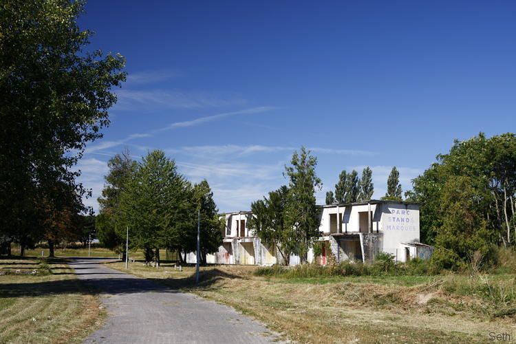
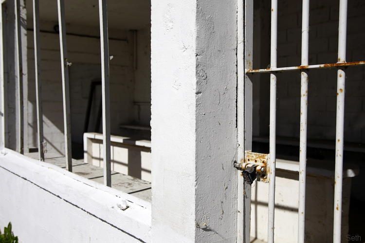
There were more buildings than I was expecting, and a tunnel that would have given pit side access during the races.
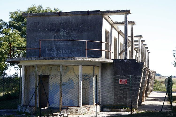
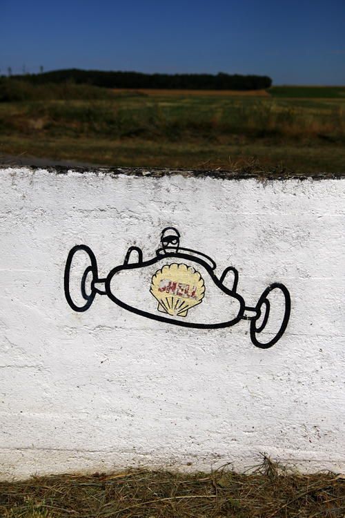
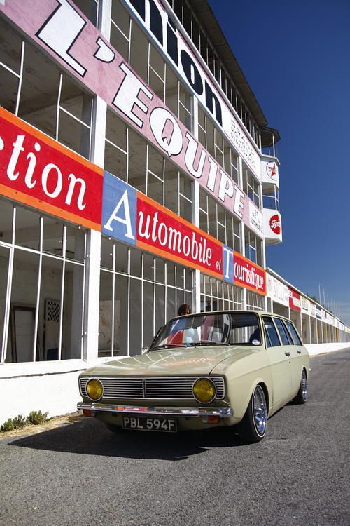
Time for one last 'tourist' shot and I could drive away happy that at last I can tick this off my list.
Rather than just head directly to that oft photographed point though, I wanted to have a look at some of the other sections of the old track. Pre-war and up until 1951 the track actually headed into the village of Gueux and this was where we headed first, travelling up to it from the south on a small road bordered by vineyards. Following my nose (and recollection of close up maps I'd looked at before leaving England) we reached point A on this map.

This was the first real corner on the pre-war route in the centre of the village and cars would have come towards this spot down that road on the right of the photo, braking hard to take the sharp 90 degree right bend.

Standing back a bit to get a wider angle....

I could see an old looking garage up that street. Its architecture certainly looks contemporary to the 1930s hey-day of this section, so I stood there imagining what machines might have graced its service bays 80 years ago...

I'd not had much chance for further research before we left home but had come across this photo on-line, of a Bugatti getting some attention.

Again, with just the image in my head I managed to get pretty close to standing in the same place as that photographer had.

Back in the car I took that road north towards Muizon, heading uphill slightly and passing a side street named 'Rue de Circuit' The road has a kerb along its centre, perhaps dissuading modern day wannabes from racing? at the edge of the village the road drops downhill again and you reach a junction. From the right comes a 'new' road (D26) built specifically to bypass the village for the 1952 Grand Prix and part of a significant reshaping of the circuit that made it even faster than before.
Ahead is the route of the pre-war track, and still the way towards the main N31 but I chose to turn left signposted as a dead end and no-entry further up. When the village was bypassed in '52 this is the way the track continued. The road is clearly banked as you curve to the right and now goes nowhere but into empty fields. There is a curve to the left at the bottom of the slope and soon after that the road just peters out.

Looking back up to where I'd parked, in the middle of the road at 'B' on the map.

With no option but to turn around, we headed back to the junction and then North up the D26 to the main road. The N31 is now a 4 lane dual carriageway but when the circuit was active it would have just been a two lane road like the others. The new highway has been built above and I think slightly to one side of the original road surface but is just as straight down towards Thillois. Once the site of a hairpin bend it is now a large roundabout but exciting this and finally heading towards the pits complex we spy a concrete 'BP' block off to one side. (C on the map)

The road curves slightly, rejoining the original route and the pits complex comes into view. (D) It is simply awe inspiring that such a construction remains here. Some of the adverts have been re-painted in recent years but the structures seem largely untouched.

These pit bays stop short of where they once reached and so some demolition must have occurred at some stage unless the faciilities were altered in the later stages of the circuits use.

It was a pleasant surprise to see some nicely produced leaflets about the track just inside one of the bays, thanks to the group carrying out the preservation works.
www.amis-du-circuit-de-gueux.fr/-Accueil-

The 'scoreboard' looms high.

and the temptation to head up into the tower is great.


There were more buildings than I was expecting, and a tunnel that would have given pit side access during the races.


Time for one last 'tourist' shot and I could drive away happy that at last I can tick this off my list.


 [*]
[*]




 Ax GTi Turbo